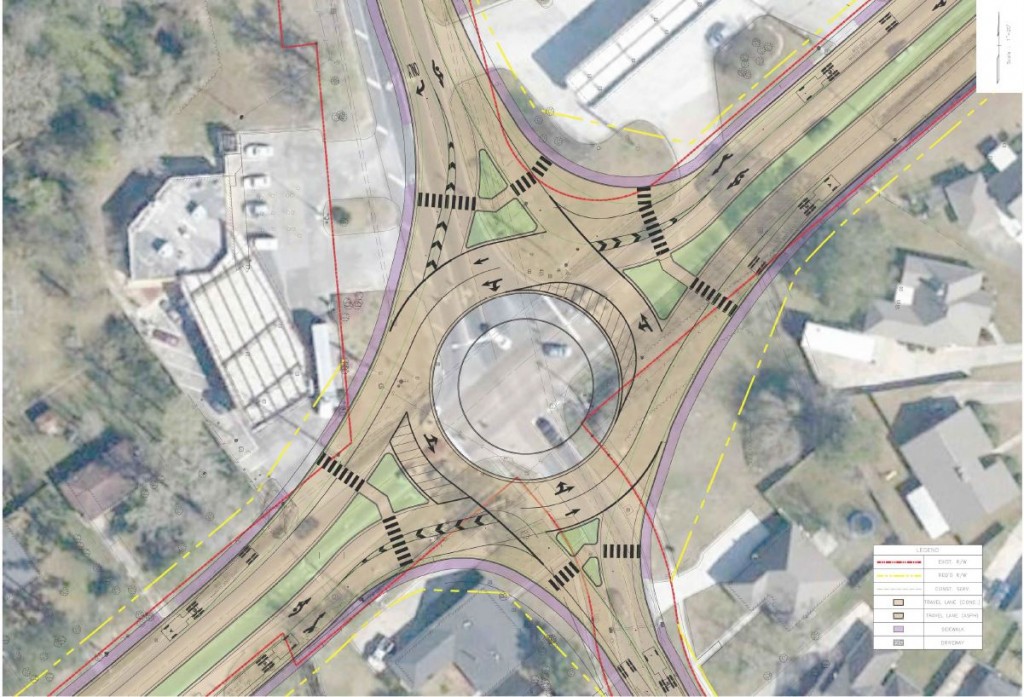
Forte and Tablada, Inc. was responsible for performing complete topographic and property surveys, developing a drainage map, and establishing existing right-of-way for North line of I-10, CSX Railroad property and Almonaster, establishing elevations to develop a Digital Terrain Model with the widths matching the limits of the topographic survey, and providing a drainage map. The entire bridge super and sub structures were scanned to locate every pile. Bridge clearances were found, extracting two dimensional line work for the superstructure. A horizontal plan of two dimensional site plan for the bridge and a volume calculation for the counterweight was also created. As there was no access to the adjacent rail property, Forte and Tablada, Inc.’s Advanced Measurements was able to use three dimensional laser scanning to survey the area without permits or trespassing on railroad right of way. This project demonstrates Forte & Tablada’s topographic survey, property survey, ROW maps and tile take off experience for transportation projects.
Service
Market
Location
Orleans Parish, LA


